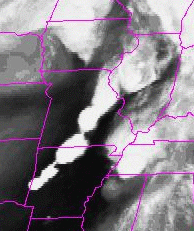
GOES-8 Water Vapor Image, 28 May 1995 0515Z
GOES-8 Water Vapor Image, 28 May 1995 0515Z
[Text Data]
[Severe Weather]
[Tropical Atlantic]
[Surface Data]
[Upper Air Data]
[Radar Data]
[Model Output]
[ Server References]
[ Why this Page?]
Alternatively, you may get GOES-8 and GOES-10 images from Ohio State's Atmospheric Science Program. A little redundancy doesn't hurt.
The latest GOES-8 imagery from the NWS GOES web site.
The latest Hurricane Sector imagery from the NWS GOES web site. The latest METEOSAT Full Disk imagery from the NWS GOES web site. Some of the most interesting satellite products come from Greg Thompson's weather site at NCAR.