
[Text Data]
[Severe Weather]
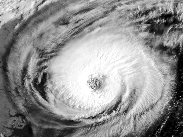
[Tropical Atlantic]
[Surface Data]
[Upper Air Data]
[Radar Data]
[Satellite Imagery]
[Model Output]
[ Server References]
[ Why this Page?]
I've linked in the National Weather Service's pages for radar data instead of Intellicast (tho they're still available).
In theory, going through this page is like getting a weather briefing for Tallahassee. First off, get the current conditions.
Next, I'd take a look at the surface analyses. Horizontal depiction of the condtions at one time, as well as time series plots of individual sites (meteograms).
The upper air analyses provide clues as to the three dimensional structure of the atmosphere.
A true Weather Weenie lives for SEVERE Weather. Possibly the best severe weather is a Tropical storm! (Perverse, ain't we?)
Two of the best ways of keeping tabs on severe weather are radar and satellite observations of the phenomena.
Of course, there's always the mundane forecast. Except this is model prognostication, which may or may not resemble anything that actually happens/will happen/has happened/is possible in Nature. Hence, it's not that mundane.
This National Weather Service data is made available courtesy of Peter St. Wecker [weather script], the National Science Foundation-funded UNIDATA Project, the University of Michigan, and the Florida State University.